


Geodatabase & Web GIS
Geodatabase & Web GIS
Disaster Risk Reduction: Prevention, Impact Mitigation and Preparedness
Disaster Risk Reduction: Prevention, Impact Mitigation and Prepared...
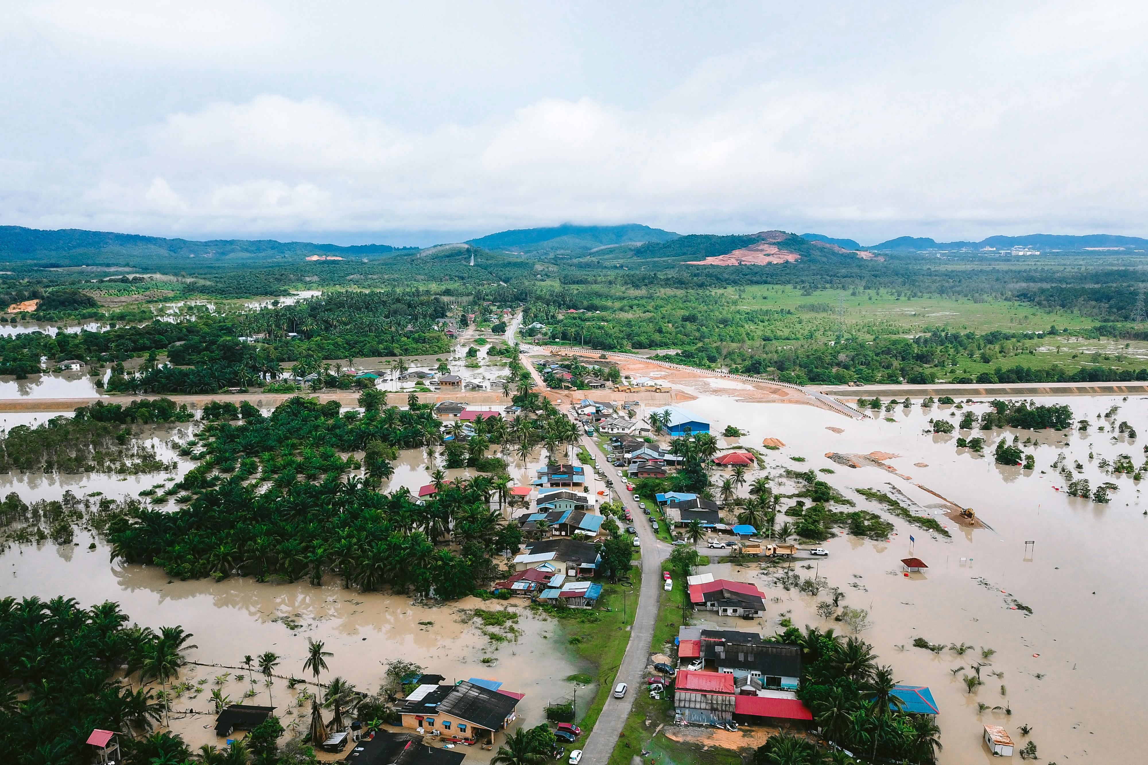
Geo-Information Imagery for Disaster Relief and Recovery
Geo-Information Imagery for Disaster Relief and Recovery
Geo-information for Risk & Vulnerability Assessment
Geo-information for Risk & Vulnerability Assessment
Geoinformation Science Application
Geoinformation Science Application
Extraction and Analysis of Geospatial Data
Extraction and Analysis of Geospatial Data
Natural Hazards, Exposure and Risk Mapping
Natural Hazards, Exposure and Risk Mapping
Geo-Spatial Analysis of Multi-Hazard Risk
Geo-Spatial Analysis of Multi-Hazard Risk
Creativity, Design Thinking & Innovation
Creativity, Design Thinking & Innovation
Live Presentation 15/6 A
Lorem ipsum dolor sit amet, consectetur adipiscing elit. Curabitur ...
Live Presentation Demo Course
This course is a live presentation on the 27th of March


Natural Hazards and Risks
This course describes the state-of-the-art knowledge on natural haz...
Fundamentals of GIS and Remote Sensing
This course describes the latest knowledge on the basic concepts an...
Geodatabase & Web GIS
This course describes the state-of-the-art knowledge on the widely ...
Research Methodology
This course will the methods to conduct a successful research for n...
Disaster Risk Reduction: Prevention, Impact Mitigation and Preparedness
This course provides knowledge about disaster management including ...
Geo-Information Imagery for Disaster Relief and Recovery
This course describes the state-of-the-art knowledge on geospatial...
Geo-information for Risk & Vulnerability Assessment
This course discusses the manipulation, analysis, and graphical pre...
Geoinformation Science Applications
This course discusses the application of the latest geoinformation ...
Extraction and Analysis of Geospatial Data
Geographic information technology is used to obtain recurring and u...
Natural Hazards, Exposure and Risk Mapping
This course discusses the concept of natural hazard risk assessment...
Geo-Spatial Analysis of Multi-Hazard Risk
This course describes spatial concepts and data model solutions in ...
Natural Hazard Modelling
This course educates students in integrated disaster risk managemen...
Building Resilient Communities Based on Geo-information: Case Study
This course integrates knowledge of various fields, including susta...
Research Project
This course introduces students to perform an observation, understa...


11- Natural Hazards, Exposure and Risk Mapping
This course delves into the intricate relationship between natural ...
12- Extraction and Analysis of Geospatial Data
This course delves into the extraction, analysis, and dissemination...
6- Geo-Information Imagery for Disaster Relief & Recovery
This course delves into the application of geo-information imagery ...
5- Geodatabase and Web GIS
This course delves into the realm of Web GIS, focusing on the creat...
4- Geo-Information for Risk & Vulnerability Assessment
This course delves into the application of geospatial technologies ...
1- Introduction to Natural Hazard and Risk (Khmer)
This course introduces
students to the origins, concepts, of Natur...
 application-g20b321195_1920.jpg
3- Basic Concepts of GIS and Remote Sensing
Basic Concepts of GIS and Remote Sensing introduces students to the...
2- Disaster Risk Reduction Management (Khmer)
Disaster Risk Reduction Management is a comprehensive course that e...


Thesis 2
Thesis 2This course provides students with analytical and practical...
Thesis 1
Thesis 1This course provides students with analytical and practical...
GDRR 514 - Extraction And Analysis Of Geospatial Data
GDRR 514 - Extraction And Analysis Of Geospatial DataThe students w...
GDRR 530 - Natural Hazards, Exposure And Risk Mapping
GDRR 530 - Natural Hazards, Exposure And Risk MappingStudents will ...
GDRR 520 - Natural Hazard Modeling
GDRR 520 - Natural Hazard ModelingThis course examines the complex ...
GDRR 524 - Geoinformation Science Applications
GDRR 524 - Geoinformation Science ApplicationsThis course discusses...
GDRR 513 - Environmental Planning and Sustainable Development
GDRR 513 - Environmental Planning and Sustainable DevelopmentFundam...
GDRR 515 - Data Science Applications in DRR
GDRR 515 - Data Science Applications in DRRThe data science course ...
GDRR 523 - Land Use Planning and Management
GDRR 523 - Land Use Planning and ManagementFundamental principles, ...
GDRR 510 - Research in Disaster Risk Reduction (DRR) and Climate Change Adaptation (CCA)
GDRR 510 - Research in Disaster Risk Reduction (DRR) and Climate Ch...
GDRR 532 - Building Resilient Communities Based on Geo-Information: Case Study
GDRR 532 - Building Resilient Communities Based on Geo-Information:...
GDRR 516 - Geo-Spatial Analysis of Multi-Hazard Risk
GDRR 516 - Geo-Spatial Analysis of Multi-Hazard RiskThe course begi...
GDRR 525 - Geo-Information Imagery for Disaster Relief And Recovery
GDRR 525 - Geo-Information Imagery for Disaster Relief And Recovery...
GDRR 522 - Disaster Risk Reduction and Climate Change Adaptation
GDRR 526 - Geo-information for Risk & Vulnerability Assessment ...
GDRR 526 - Geo-information for Risk & Vulnerability Assessment
GDRR 526 - Geo-information for Risk & Vulnerability Assessment ...
GDRR 521 - Remote Sensing Applications in DRR and Climate Change
GDRR 521 - Remote Sensing Applications in DRR and Climate Change Th...
GDRR 512 - Introduction to Natural Hazards and Risk
GDRR 512 - Introduction to Natural Hazards and RiskThis course desc...
MGP 12.2501 - Fundamentals of GIS and Remote Sensing
Course DescriptionThis course describes the latest knowledge on the...
MGP 17 - Extraction and Analysis of Geospatial Data
This course is designed to equip students with the necessary
skill...
MGP 30 - Capstone Project 2
In this course, students will complete a capstone project that inte...
MGP 19 - Natural Hazard Modelling
This course introduces students to the concepts, methodologies, and...
MGP 29 - Capstone Project 1
This 20-week practicum course is a graduate-level immersive experie...
MGP 23 - Building Resilient Communities Based on Geo-Information: Case Studies
This course provides an in-depth study of using geo-information in ...
MGP 27 - Management of Communication and Leadership in Disasters
This course provides a comprehensive understanding of communication...
MGP 20 - Geoinformation of Risk & Vulnerability Assessment
This course introduces students to the principles and practices of ...
MGP 24 - Geographic Data Science: Visualization & Communication
The course introduces advanced methods for managing spatial databas...
MGP 10 - Geomatics for Disaster Risk Reduction Research Methods & Statistics
This graduate-level course explores research methods and
statistic...
MGP 15 - Risk Governance & Resilience
"Risk
Governance & Resilience" examines the roles of governanc...
MGP 14 - Disaster Risk Reduction, Prevention, Impact Mitigation and Preparedness
This graduate-level course explores the principles and practices of...
MGP 11 - Natural Hazard and Risk
This graduate-level course explores the science of natural hazards,...
MGP 12 - Fundamentals of GIS And Remote Sensing
This course describes
the latest knowledge on the basic concepts a...


